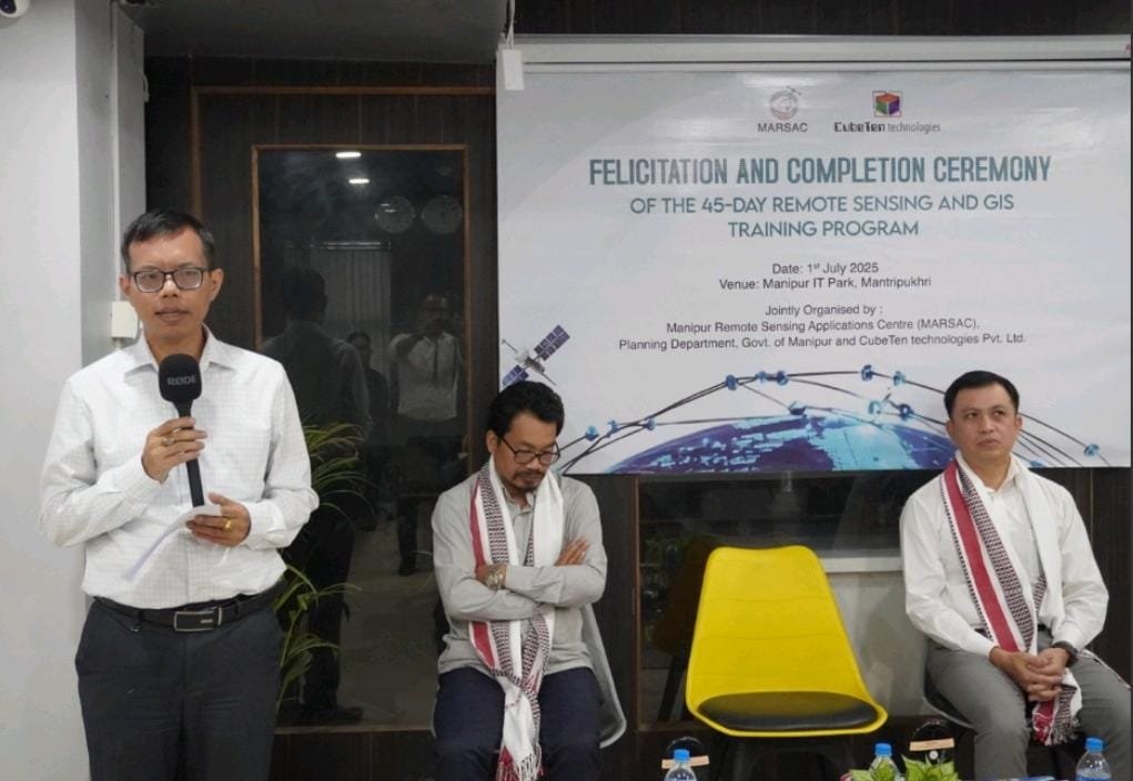
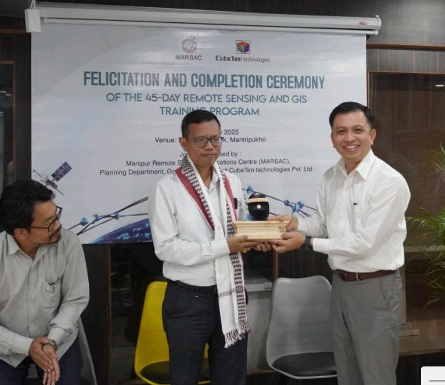
A 45-day intensive training program on Remote Sensing and Geographic Information System (GIS), jointly organized by CubeTen Technologies Pvt. Ltd. and the Manipur Remote Sensing Applications Centre (MARSAC), concluded successfully with a valedictory and certificate distribution ceremony held at the CubeTen office, Manipur IT Park, Imphal.
The program, which commenced in mid-May, brought together over 30 participants, including professionals from various government departments, research scholars, and young technical graduates. The course aimed to equip participants with advanced geospatial skills, covering modules on satellite data interpretation, GIS mapping, UAV-based data acquisition, and real-time applications of remote sensing tools in governance and development.
Expert sessions were conducted by scientists from premier institutions, including the North Eastern Space Applications Centre (NE-SAC), enriching the training with cutting-edge insights and practical knowledge. Their contributions were instrumental in deepening participants’ understanding of the subject.
Participants represented departments such as Environment Science, Information and Public Relations, Central Agricultural University (CAU), Minor Irrigation, and the Planning and Development Authority (PDA), reflecting growing institutional interest in the integration of geospatial intelligence into public planning and administration.
Addressing the gathering, MARSAC Director O. Nodiachand Singh emphasized the increasing importance of geospatial technologies in decision-making, resource mapping, and environmental monitoring. He said that spatial data analysis enables planners and policymakers to make informed, data-driven decisions, especially in a geographically diverse state like Manipur.
Thokchom Kirankumar, IAS, Secretary of the Department of Information Technology, Government of Manipur, attended the event as Chief Guest. In his remarks, he underlined the expanding role of GIS and remote sensing in delivering citizen-centric services, citing applications in flood mitigation, water supply monitoring, urban planning, land use mapping, and agricultural productivity tracking. He stressed that GIS is now a key enabler of transparent and efficient governance.


